Tuesday, March 2
It’s hard to get to the geographic centre of the North Island. It’s remote and the gravel backroads are very hilly and rocky in various places. Last year on my TA ride, it was my eighth day which turned into a 12-hour marathon with three low-speed falls, one puncture and a lot of slow going. It was by far my hardest of my 28 days on the Tour.
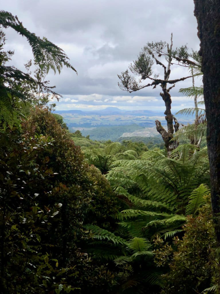
Today, the first half of our 108km day was easy and pleasant riding up the second half of the Timber Trail. Near the end of it I ran into Bevan, an old friend from Auckland, going in the opposite direction. I’d heard from a mutual friend he was making good progress on the TA so I thought there was a chance we would meet in the 100km or so the Kōpiko and TA share the same route, remarkably so since one route is across the country, and the other down it.
Shortly after my quick chat with Bevan, I came across some of the riders who were staying in the same places as Kennedy and I had over the past few days. Half an hour or so before, one of their riders had been stung by a bee, lost control of his bike and had a nasty fall, which did in his shoulder. Then he went into convulsions, possibly from the bee sting. They’d set off their emergency beacon and were awaiting the rescue helicopter, which arrived shortly after I left them.
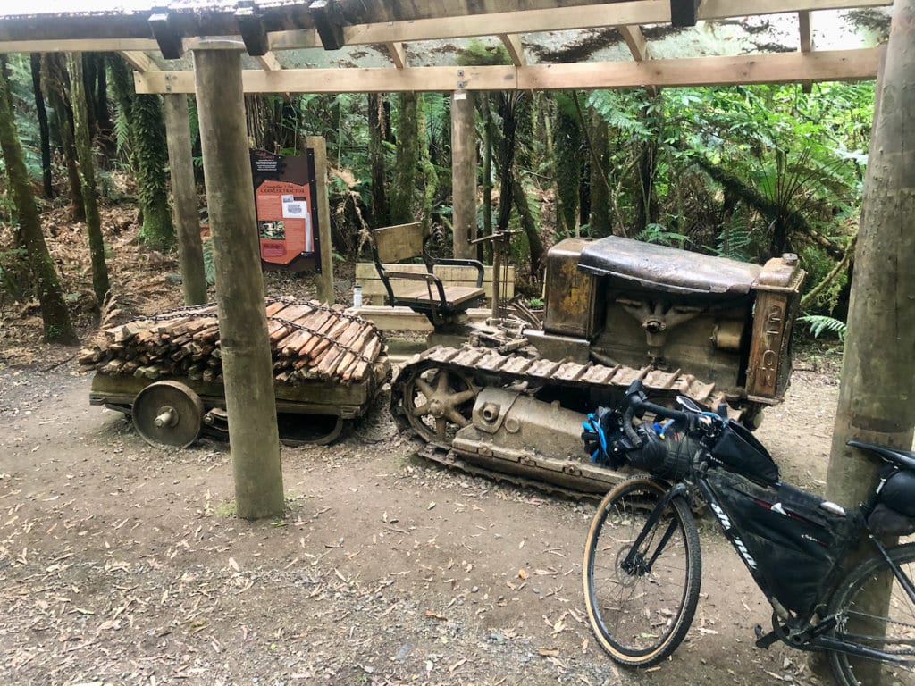
After the trail came the Link Road, a major logging route of which I had sore memories from last year. This time I rode it without falling, but with some navigation anxiety because my GPS was playing up. From the Centre of the North Island, we had a 40km, gentle drop down to Whakamaru on the Waikato River. Arriving about 5pm we headed for its lone store to dine of fast food (our only unhealthy meal on the trip, I promise), and to stock up on groceries and 3 litres of bottled water. We knew we were heading a further 12km down the Waikato River Trail to our night’s campsite which had no drinkable water.
By this stage of the long day, I was more than tired and made a very bad decision about 3km before our campsite. I’d had enough of the winding, narrow and at times poorly built river trail, so I diverted to the nearby tarmac road, knowing from my map it went right past our campground. As soon as I arrived, I realised how stupid I’d been. Kennedy had been ahead of me on the trail, so likely he would have stopped for me to catch up. And when I didn’t, he’d have headed back up the trail to find me.
So I went back up the trail hoping to find him. Thankfully, along the way I got a smidgen of mobile signal and called him. From my barely functioning call, he could just about figure out I was near the campground so he headed to it. He arrived after dark, just as it began to rain. He very graciously accepted my profuse apologies. Another day, another chapter in my love / hate relationship with the Geographic Centre of the North Island.
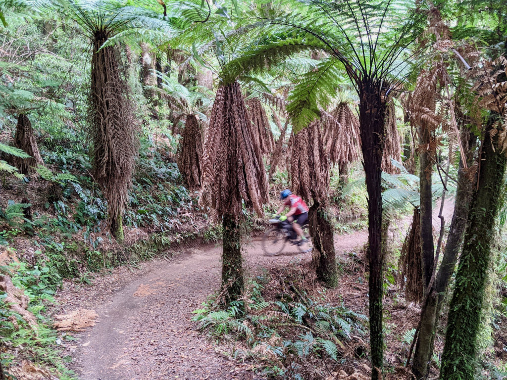
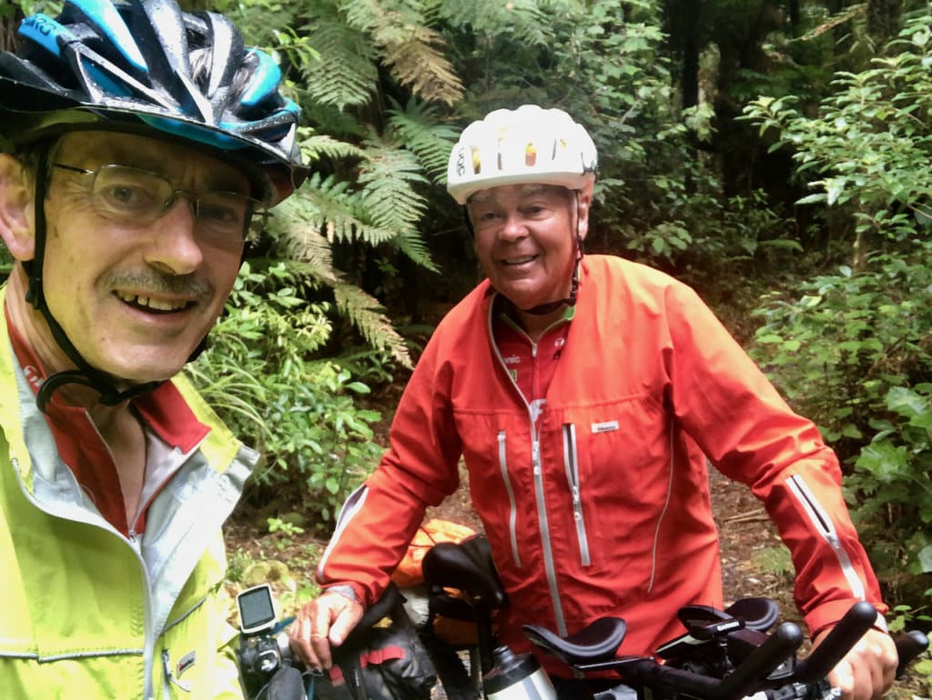
Heading NE on the Timber Trail on my Kōpiko ride, I ran into Bevan heading SW on his Tour Aotearoa ride…
…we’re old friends from our Saturday coffee ride group, the Classico Cyclists. He rode the 3,000km to Bluff in 25 days.
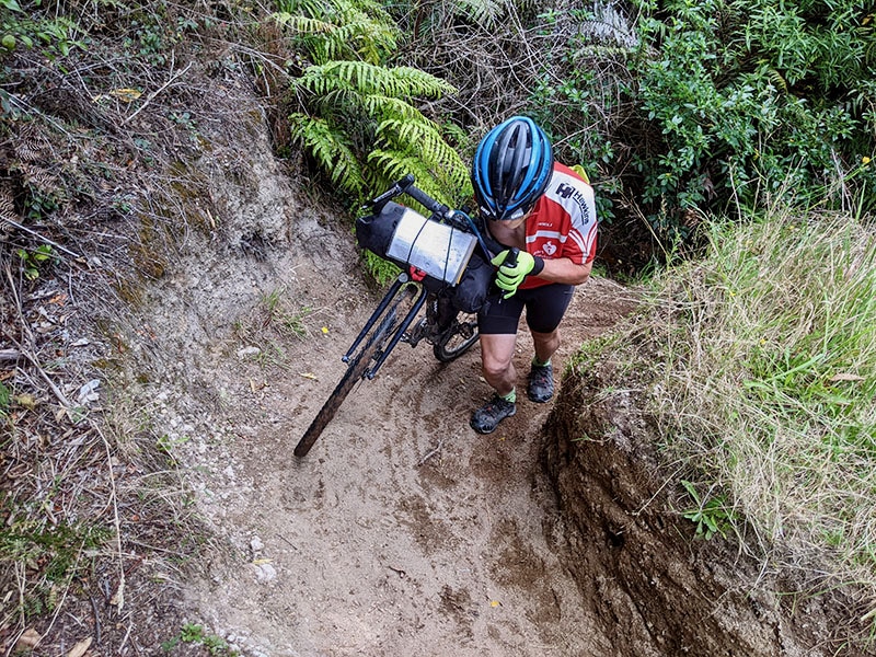
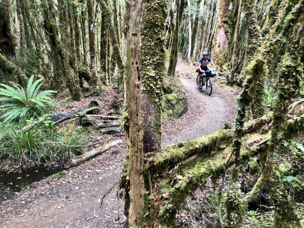
there’s something about the terrain and roads around here which made it my hardest day on the Kōpiko…
…just as it was my hardest day on the Tour Aotearoa last year
on exactly the same route but heading in the opposite direction.
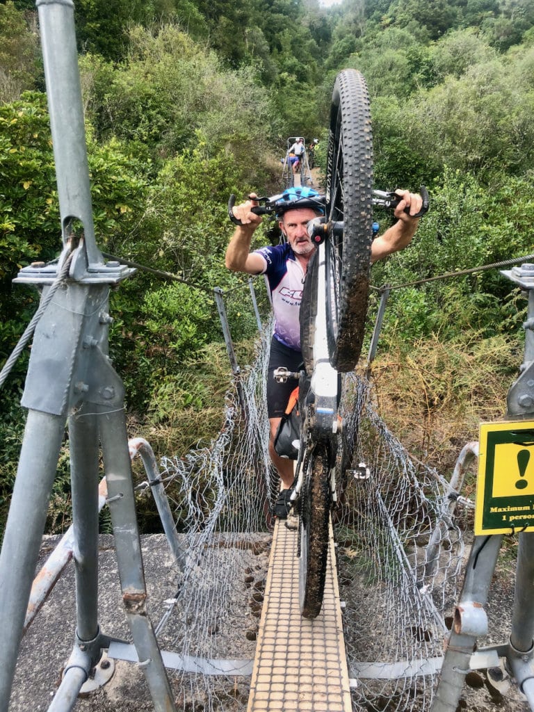
requiring carrying some bags across off your bike
0 Comments