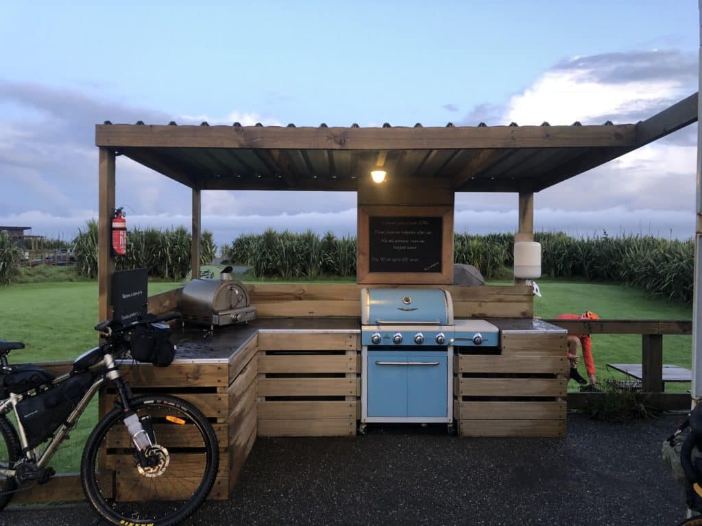
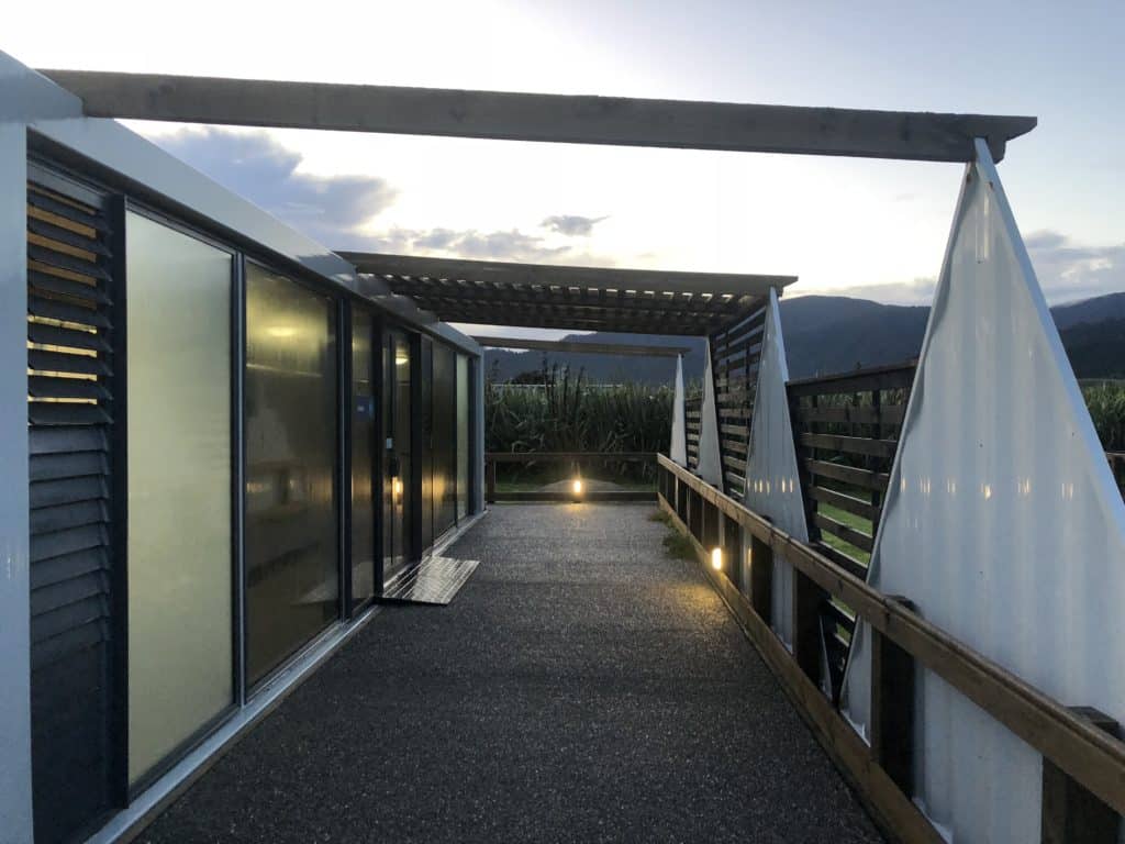
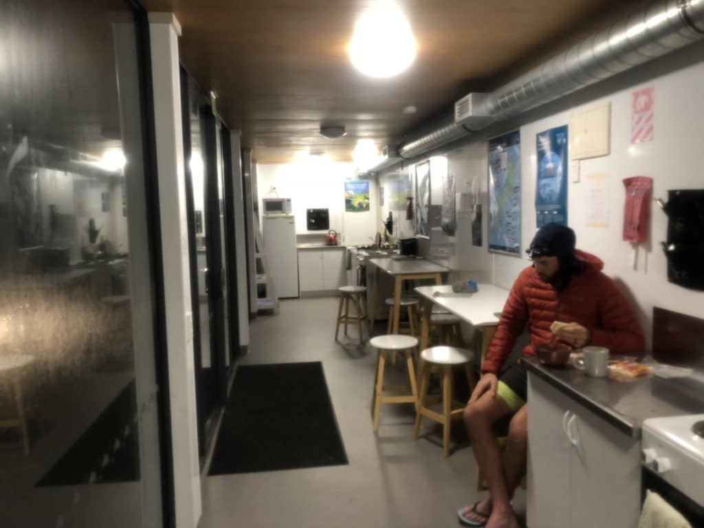
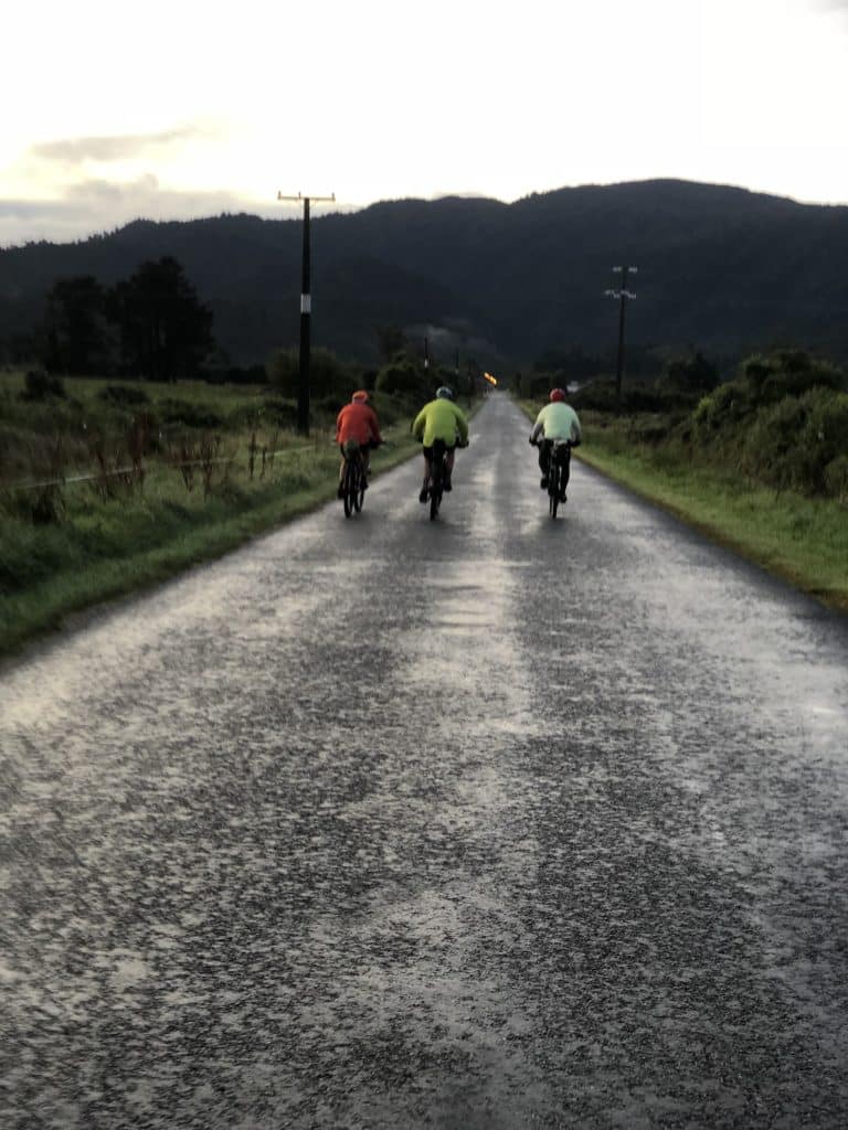
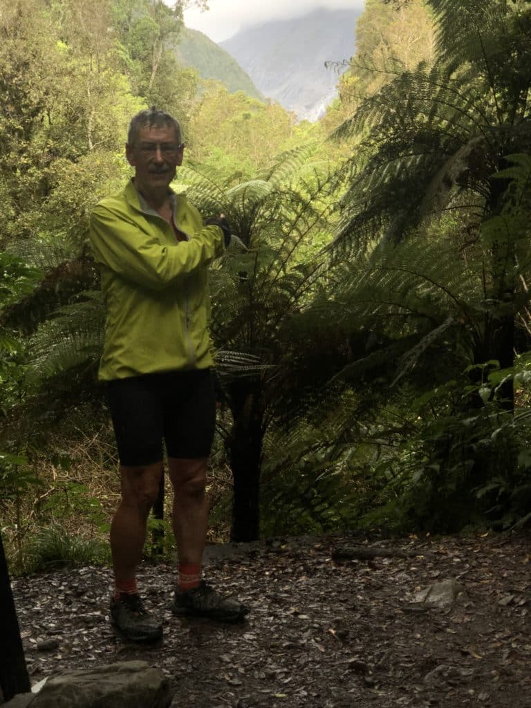
Tuesday, March 10th: This was always likely to be the longest distance I’d travel in a day on the Tour. Indeed, it was 140km from Ross to Fox township through the more mountainous terrain of the West Coast. I left our creative container/bunkhouse at the Ross Beach campsite at 7.30am. Below are a few more photos of the establishment, and a photo of Rex, Anita and Steve from Wellington starting down the road to Fox slightly ahead of me.
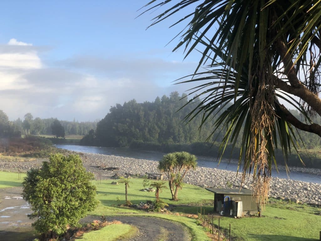
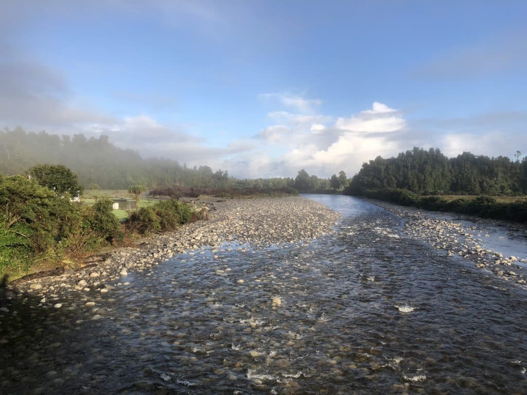
It had rained heavily overnight, but the camping TAers I checked with in the morning said they’d all stayed dry. A few showers were forecast for today but they never materialised. First thing, tho, it was misty in the early morning light.
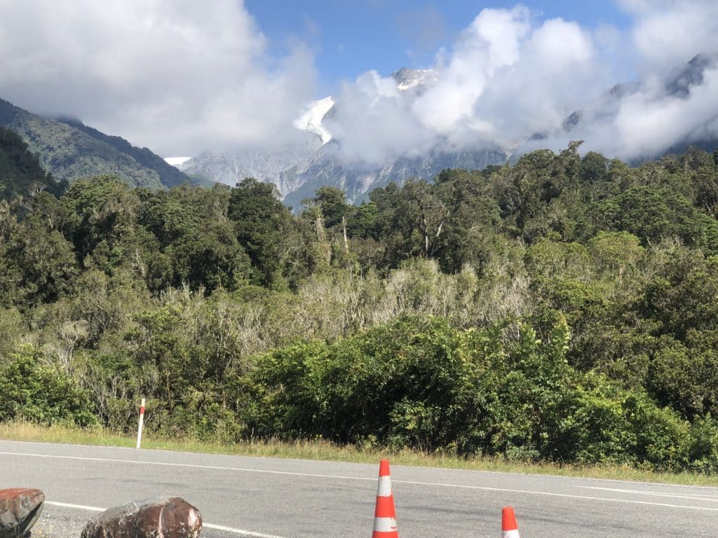
We were on Hwy 6 all day down the coast, a well surfaced and engineered road with relatively light traffic. Here are some of the early morning views:
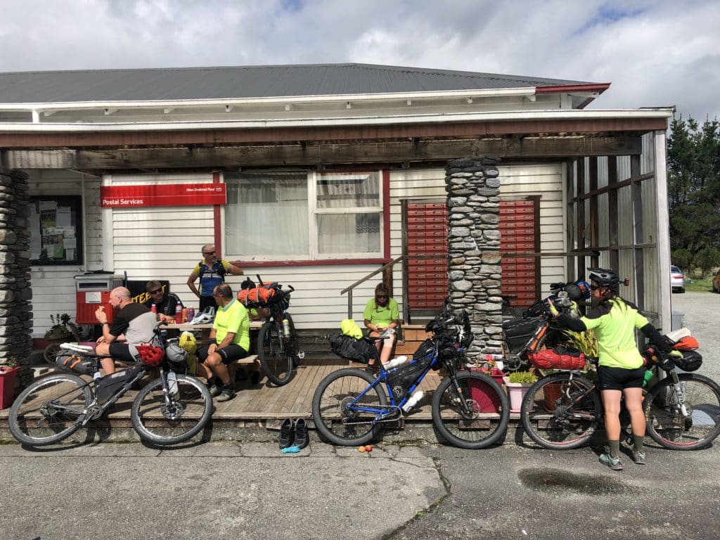
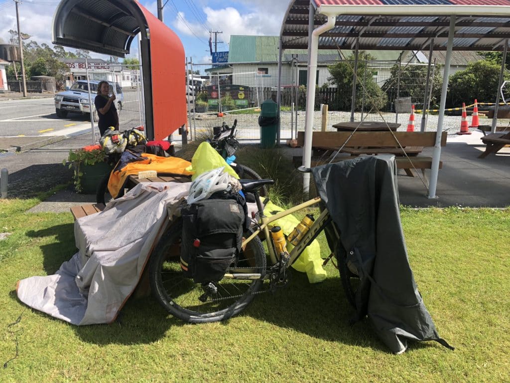
The ride was punctuated by stops at the only shops/cafes along the way in small communities – at Harihari at 44km, at Whataroa at 75km (two pictures below…cyclists outside the cafe…and Jane and Rebecca drying their wet tents across the road) and at Franz Josef at 120km (followed by a distant view of its glacier.)
I ate well at the first two stops but restrained myself to a pot of tea and a muesli slice at Franz Josef because I knew what lay ahead. The last 20km of the day were over three saddles, rising to 321m, 408m and 411m…for a total climb of some 500m over a dozen km. Quite simply, they were hard work and the tight little valleys didn’t lend themselves to photos, not that I dared stop to take any. I just kept cranking. From the top of the third, was a short , fast descent into Fox Township to conclude the 9 1/2 hour ride.
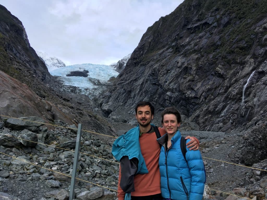
Our next selfie “proof of progress” comes very soon after the start of tomorrow’s stage. So, many of us dumped our bags at the campground and rode out to it tonight. Just out of town, we turned up the river towards to Fox glacier. We rode some 4km up the trail to the view point and dutifully took our photos.
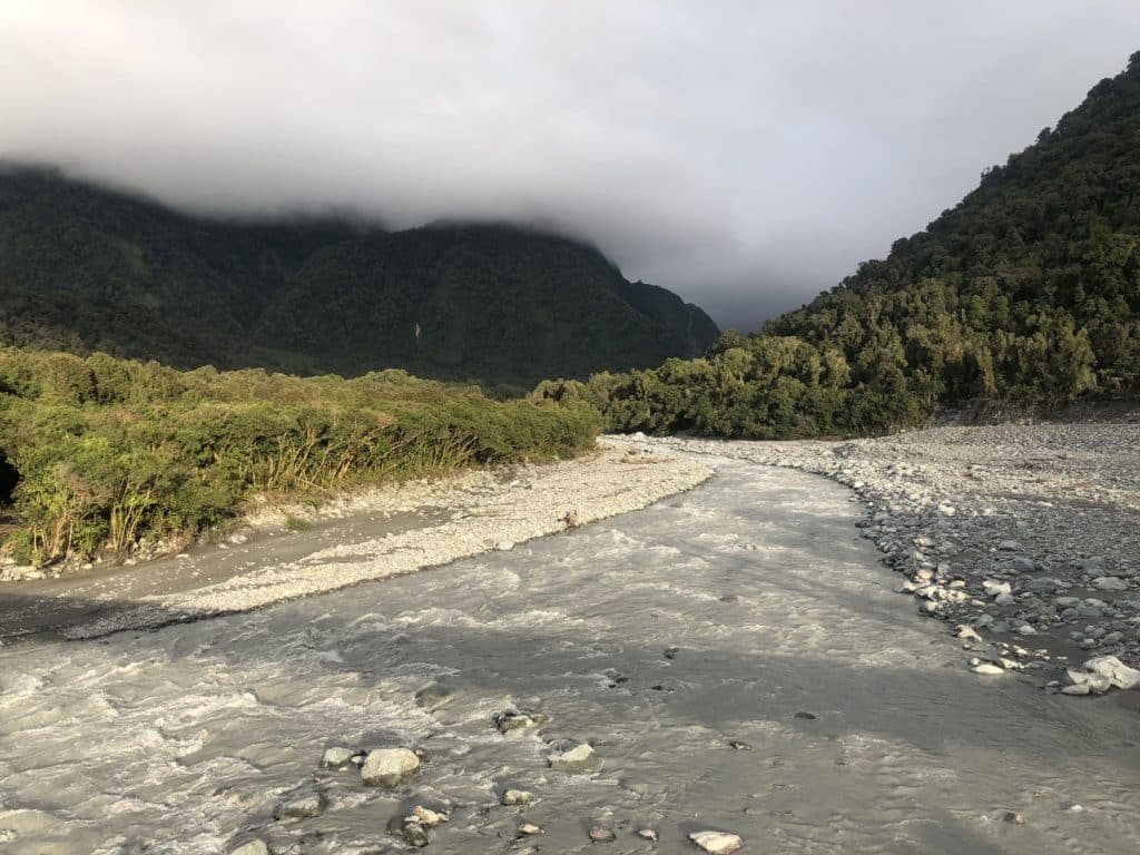
Can’t see the glacier? Nope, nor will you. It’s retreated round the corner of the valley to the left. You need to walk another 2km up the trail to get a glimpse. Meanwhile, the meltwater thick with sediment pours down the valley.
Last winter, Celeste and Keir visited the Franz Josef glacier and took this photo:
When she sent the photo to Lynn and me, I recognised the spot immediately. We visited it as a family in January 1998 on our first trip to the South Island. The photo of that is in the study…I took a photo of it and sent it to Celeste and Keir:
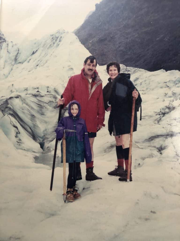
In the 21 years between the two photos being taken at exactly the same spot, the glacier has lost 20% of its ice mass, Jim Salinger, my friend the climate scientist who is doubling as my meteorologist for the Tour, tells me.
The fast receding ice means there is a booming business in tourists demanding ever more helicopter flights to land on the ice. The helicopters’ exhaust emissions, of course, are only hastening in their infinitesimally small way the melting of the glaciers. Going, going…and gone with the next few decades.
0 Comments